GPX Ready Slovenia Cycling Routes with Local Ride Hosts
· 13 min read
Pick your route by category first, not by name. Slovenia’s best rides break into four groups: rail-line valley trails like Štrekna, the coastal Parenzana, alpine passes in the Soča Valley, and city loops around Ljubljana like the Bled–Bohinj connector. Grab the GPX for your pick, or join a Coffeeride group and let a local show you the way.
TL;DR:
- The Štrekna rail-trail is a flat, paved, family-friendly route of 35 km with free bicycle shuttles, making it ideal for casual cyclists and groups with kids.
- The Parenzana coastal trail spans about 30 km with a mix of asphalt and gravel, requiring a hybrid or gravel bike, and benefits from bike rental options in Koper and Portorož.
- The new Bled–Bohinj connector, opened in July 2026, is a paved, mostly traffic-separated route suitable for road or hybrid bikes, though some mapping tools may still lack updates.
- The Soča Valley holds Slovenia’s most challenging alpine climbs, with passes open seasonally from late May to early October, catering to experienced climbers and mountain bikers.
- For city riding, Ljubljana offers accessible loops like PST and Little Barje, best experienced with local rentals or guides, especially for newcomers or those unfamiliar with urban routes.
Table of Contents
- Cycling Routes in Slovenia: The Quick Shortlist
- Regional Route Highlights Across Slovenia
- Maps, GPX Files, and Apps: Getting the Right Track
- Safety, Seasons, and Getting Your Bike There
- How to Pick Your Route: A Fast Decision Checklist
- Ride With People Who Know the Roads
- Where to Stay and Eat Along the Way
- Local Rules and Riding Etiquette in Slovenia
- Guided Tours and Bike Rental Options
- Why Local Knowledge Beats Any Map
- Find your peloton with a community platform for cyclists.
- Sources
- FAQ
Cycling Routes in Slovenia: The Quick Shortlist
You want the short version before committing a whole Saturday to research. Here’s how the best cycling routes in Slovenia stack up against each other at a glance:
- Štrekna: a moderate-length, easy, paved rail-trail suitable for hybrid or city bikes and great for families.
- Parenzana (Slovenian section): a moderate-distance route with mixed asphalt and gravel surfaces, best on a hybrid or gravel bike.
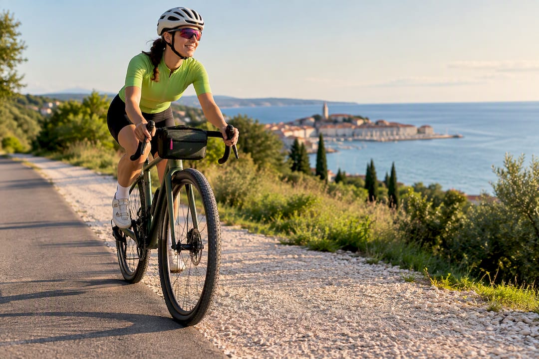
- Bled–Bohinj trail: a recently opened paved and mostly traffic-separated connector between Lake Bled and Lake Bohinj, suitable for road or hybrid bikes.
- Soča Valley passes (Vršič, Predel, Mangart): 15 to 50+ km per climb, hard to extreme, paved with gravel side options, best on a road or gravel bike with low gearing.
- Ljubljana circuits (PST, Little Barje): a range of easy to moderate city loops on mixed paved paths, suitable for city or hybrid bikes.
- D2 / Trans Dinarica: multi-day, hard, mixed terrain, best on a gravel or touring bike for riders planning a long-distance crossing.
Each one solves a different problem. Štrekna is your low-stress family day. Vršič is your bragging-rights climb. Ljubljana’s circuits are what you ride before breakfast when you’re staying in the capital.
Regional Route Highlights Across Slovenia
Slovenia’s terrain changes fast, so the “best” route really depends on which region you’re standing in. Here’s what each one delivers.
Štrekna: the flattest, friendliest ride in the country
The Štrekna trail runs 35 km from Velenje to Dravograd along a decommissioned railway, with a gentle elevation range between roughly 341 and 590 meters. It’s fully paved and family-friendly, and the gradient rarely asks anything of your legs. A hybrid or even a city bike handles it fine. What makes it stand out logistically is the Štrekna Bus, which carries bicycles for free and connects to Lavamünd across the Austrian border, so you can ride one direction and shuttle back.
Parenzana: coastal history on two wheels
Slovenia’s slice of the old Parenzana railway line covers about 30 km from Koper to Portorož, and the surface splits roughly 60% asphalt and 40% compacted gravel. That mix rules out skinny road tires. A gravel or hybrid bike is the right call, and riding Koper toward Portorož tends to work better with the coastal wind. Rentals are available in both towns for anyone who’d rather not bring their own bike down.
Bled–Bohinj: the new connector everyone’s talking about
This paved cycling route connects Lake Bled and Lake Bohinj over a moderate one-way distance with some elevation gain, mostly separated from car traffic. It officially opened on July 15, 2026, which means plenty of mapping tools haven’t caught up yet. A road or hybrid bike suits the pavement well, and most riders treat it as an out-and-back unless they’ve arranged a shuttle.
Soča Valley: where the real climbing lives
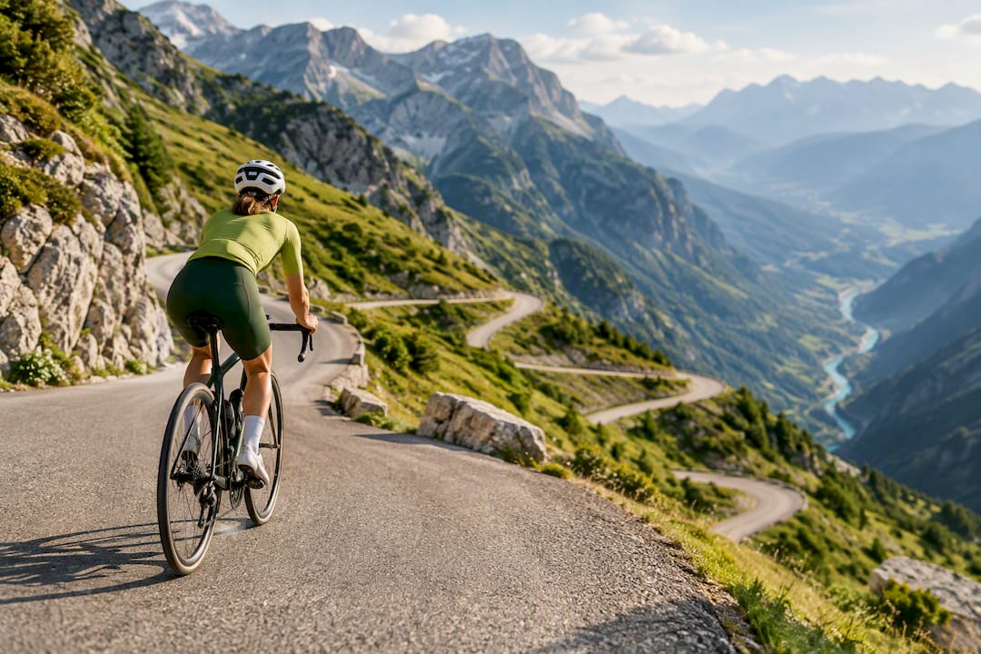
The Soča Valley holds Slovenia’s marquee alpine climbs. Vršič, Predel, and Mangart Saddle are prominent alpine passes in the Soča Valley, known for challenging climbs and exposed sections. These passes are seasonally open, generally from late May through early October, and range from valley cruising suitable for families to summit pushes that belong on an experienced climber’s bucket list.
Ljubljana circuits: your city warmup
The Path of Remembrance and Comradeship (PST) loops the capital and connects to shorter circuits documented by Visit Ljubljana, including the Little Barje Circuit. The more demanding Golovec–Krim loop offers varied city circuit distances and climbing opportunities. Renting locally is often the fastest way to sample these without hauling your own bike into the city.
Long-distance riders chasing something bigger should also know about the emerging D2 / Trans Dinarica corridor, a multi-day mixed-terrain route strung together for gravel and touring bikes crossing the wider region.
Maps, GPX Files, and Apps: Getting the Right Track
Download the GPX before you leave home, not when you’re standing at the trailhead with no signal. Štrekna’s official map and timetable live on strekna.si, and the Parenzana and Bled–Bohinj pages linked above both offer downloadable tracks. The catch: because Bled–Bohinj only opened in July 2026, it may still be missing from OpenStreetMap and some routing apps at the time you’re reading this.
Here’s a simple prep checklist:
- Download the official GPX file for your chosen route.
- Load it into an offline map app on your phone or a dedicated bike GPS unit.
- Save offline map tiles for the region in case cell coverage drops.
- Cross-check recent rider uploads on Strava or Komoot to confirm the track matches current conditions.
- Screenshot the route profile as a backup in case your app crashes mid-ride.
Pro Tip: For brand-new routes like Bled–Bohinj, don’t trust your app’s default map layer alone. Pull up a handful of recent Strava or Komoot uploads first. If riders posted the track in the last few weeks, you know the path is actually rideable as described.
Safety, Seasons, and Getting Your Bike There
Time your ride around the weather, not just your calendar. April through June and September through October offer the most reliable conditions across Slovenia, and starting early in summer avoids both the heat and the crowds. Valley rail-trails like Štrekna and the new Bled–Bohinj route sit exposed to full sun for long stretches, so carrying water and sun protection matters more than it looks like it would on a flat, easy ride.
Bike transport shapes your route options directly. The Štrekna Bus carries bicycles free of charge, and Nomago’s subsidized weekend fares start from €1.30, making one-way rides practical without doubling back. Carry ID if your route crosses toward Austria or Italy near the borders.
Quick pre-ride checklist:
- Water, sun protection, and a basic repair kit
- Confirmed shuttle or return transport timetable
- Weather check for mountain passes specifically
How to Pick Your Route: A Fast Decision Checklist
Match the ride to your group and goals before you match it to the map. Families and casual riders lean toward Štrekna or the Ljubljana circuits. Gravel riders belong on Parenzana. Climbers want Vršič or Mangart. E-bike riders can handle almost any of them, though battery range matters more on the longer Soča climbs.
- Decide your target distance and how much climbing you actually want.
- Match surface type to your bike, gravel tires for Parenzana, road tires for Bled–Bohinj.
- Check whether the route needs a one-way shuttle or works as an out-and-back.
- Confirm GPX is downloaded and offline maps are saved.
- Check the weather forecast, especially for alpine passes.
- Verify local signage and any seasonal closures before departure.
Ride With People Who Know the Roads
Route facts only get you halfway there. The rest comes from knowing which turn-off floods after rain or which café along Štrekna actually opens on Mondays, and that’s local knowledge you pick up from riding with people, not from a map. You can connect with local cycling groups filtered by discipline and pace, including women-only and para-cycling rides, with group messaging built into events. Post that you’re heading toward the Soča Valley or looking for a Ljubljana loop, and ask ride hosts to share their GPX before you set out. It’s a faster way to learn a region’s quirks than any app.
Where to Stay and Eat Along the Way
Pick your base by which route you’re riding, not the other way around. Velenje and Dravograd bookend Štrekna and both have modest guesthouses and cafés geared toward cyclists passing through on the rail-trail. Along the coast, Koper and Portorož anchor the Parenzana route with a wider range of hotels and seafood restaurants, plus bike rental counters that double as good local info sources.
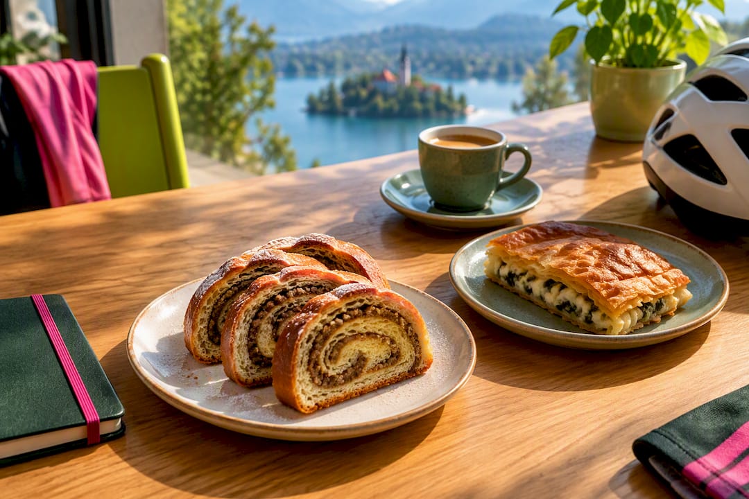
Bled and Bohinj, now linked by the new paved trail, both run on tourism infrastructure built for exactly this kind of ride. Expect lakeside cafés, bakeries stocked with potica and burek, and lodging that ranges from budget hostels to lakeside hotels with bike storage. Book ahead in July and August since the new connector is drawing extra traffic.
In the Soča Valley, Bovec and Kobarid serve as the natural rest stops before or after tackling Vršič, Predel, or Mangart. Both towns have a strong outdoor-tourism scene, with guesthouses used to storing bikes overnight and restaurants serving hearty meals that make sense after a few thousand meters of climbing. Ljubljana itself covers every budget and food category imaginable, and its central location makes it a workable base for day trips to several of these routes without needing to change accommodations.
Local Rules and Riding Etiquette in Slovenia
Slovenia takes shared-path etiquette seriously, especially on routes like Štrekna and Bled–Bohinj that mix cyclists with walkers and occasional farm traffic. Slow down through villages, give pedestrians the right of way on narrower rail-trail sections, and keep noise down early in the morning when passing through residential stretches.
On mountain roads in the Soča Valley, you’re sharing pavement with cars, so ride single file on blind corners and use lights even in daylight on the darker tunnel sections near some passes. Alpine terrain also means respecting trail closures. Passes like Mangart can close temporarily for weather or maintenance, and ignoring a closure sign isn’t worth the risk on exposed switchbacks.
Ljubljana’s urban circuits fall under normal city cycling rules: use marked bike lanes where they exist, and don’t assume every path is car-free just because it feels quiet. Wild camping is generally restricted across Slovenia, so plan your overnight stops through registered accommodations rather than assuming you can pitch a tent trailside, particularly near protected areas like Triglav National Park along the Soča Valley climbs.
Guided Tours and Bike Rental Options
Renting instead of hauling your own bike simplifies almost every route on this list. Koper and Portorož both have rental shops stocked with hybrid and gravel bikes suited to the Parenzana surface mix. Bled and Bohinj have seen a jump in rental availability since the new connector opened, with several shops now offering road and e-bike options specifically for that route.
Guided tours make the most sense for the Soča Valley passes, where local operators know current road conditions, weather windows, and which sections to avoid after rain. A guide also takes the stress out of navigating unfamiliar mountain traffic patterns on climbs like Vršič. For flatter routes like Štrekna or the Ljubljana circuits, a guide is less necessary since the paths are well marked and low-risk, but rental shops near both regions can still supply a bike on short notice if you’re traveling light.
E-bike rentals are increasingly common across all four route categories, and they’re worth considering for the Soča Valley passes specifically if you’re not training year-round for alpine climbing.
Why Local Knowledge Beats Any Map
No GPX file tells you which gravel patch on Parenzana turns slick after rain, or which Ljubljana intersection gets confusing at rush hour. That knowledge lives with the people who ride these routes weekly. Ride respectfully through protected areas near the Soča Valley, join a local group before tackling something unfamiliar, and share your GPX updates back to the community once you’ve ridden a new section. Route information stays useful only when riders keep it current.
— Coffeeride
Find your peloton with a community platform for cyclists.
Reading route stats only gets you so far. This platform can help you find groups heading to popular rides or women-only rides in your area. Filter by pace and discipline, join clubs built around road cycling or mountain biking, and message the group before you even show up so you know who’s riding and where.
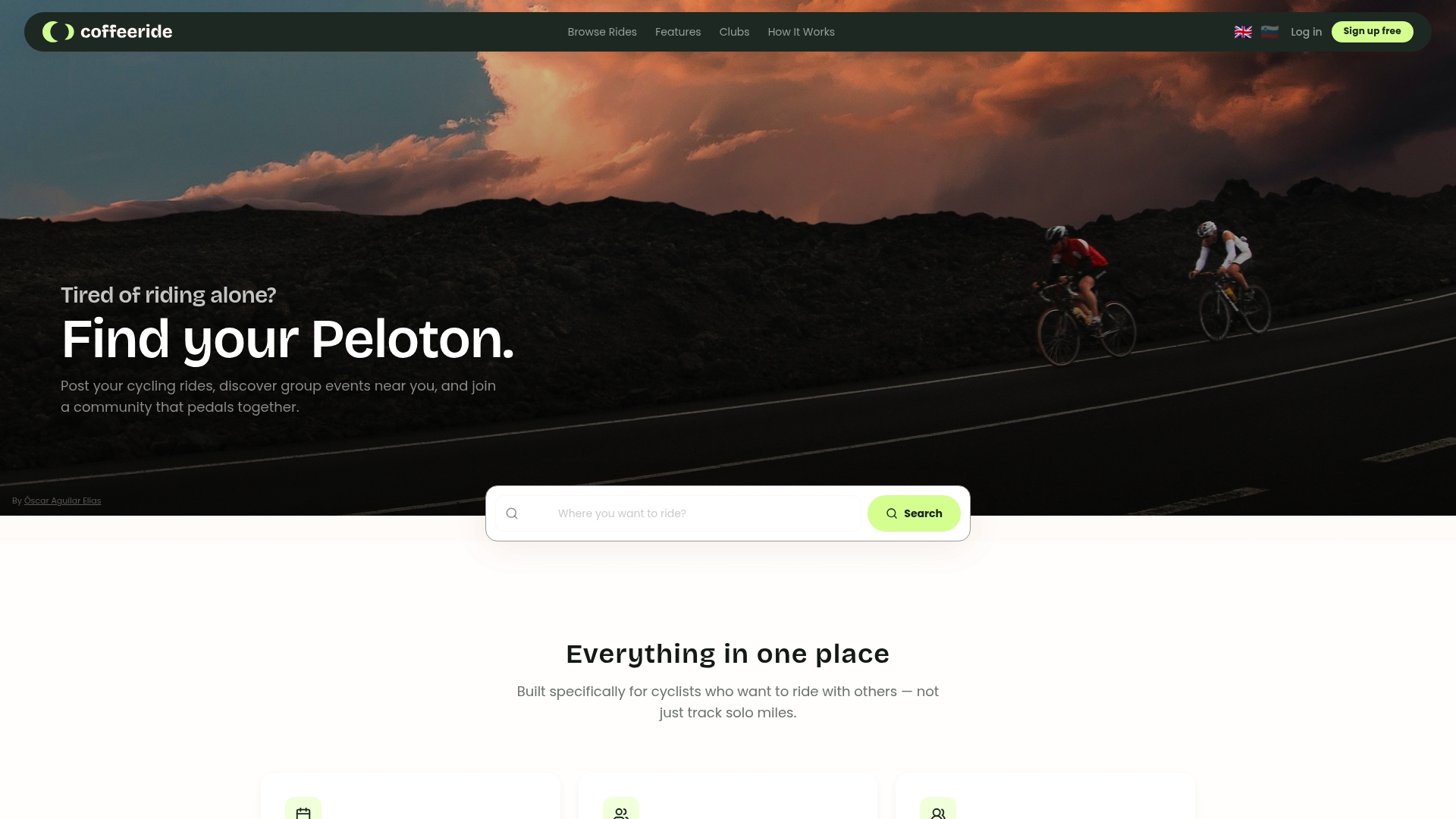
Whether you’re chasing the Soča Valley passes or just want company on the Štrekna rail-trail, Coffeeride puts you in touch with riders who already know the roads. Post your own ride, browse what’s already scheduled near you, or request GPX from a host before joining. Sign up at Coffeeride Club and find your next ride in Slovenia today.
Sources
- Strekna
- Parenzana Trail: Cycling Koper to Piran (Slovenia Essence)
- Cycling Routes (Visit Ljubljana)
- Rides
FAQ
Is there an app for bike routes in Slovenia?
Yes. Standard GPX-compatible apps like Strava and Komoot work well for downloading and following Slovenian routes, and Coffeeride helps you find local group rides where hosts often share their own GPX files directly.
What is the D2 cycle route in Slovenia?
The D2 is part of a longer-distance cycling corridor, sometimes referenced alongside the Trans Dinarica route, aimed at multi-day gravel and touring riders crossing the wider region. It suits experienced long-distance cyclists rather than a single-day outing.
Is there a bike path from Bled to Bohinj lake?
Yes, a dedicated paved trail connecting Lake Bled and Lake Bohinj opened on July 15, 2026, running 32.5 km one-way with roughly 420 meters of elevation gain. Because it’s new, double-check your mapping app before riding since some routing tools haven’t updated yet.
Is it safe to cycle in Slovenia?
Slovenia is generally considered rider-friendly, with well-marked rail-trails and dedicated cycling infrastructure in cities like Ljubljana. Mountain routes in the Soča Valley demand more caution due to traffic and exposed sections, so check seasonal conditions and ride with a group or guide if you’re unfamiliar with alpine roads.
What’s the easiest cycling route in Slovenia for beginners?
Štrekna is the most beginner-friendly option, running 35 km on paved surface with only gentle elevation changes between Velenje and Dravograd. Its free bicycle transport on the Štrekna Bus also makes one-way rides low-pressure for newer cyclists.


